
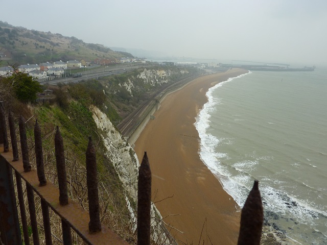
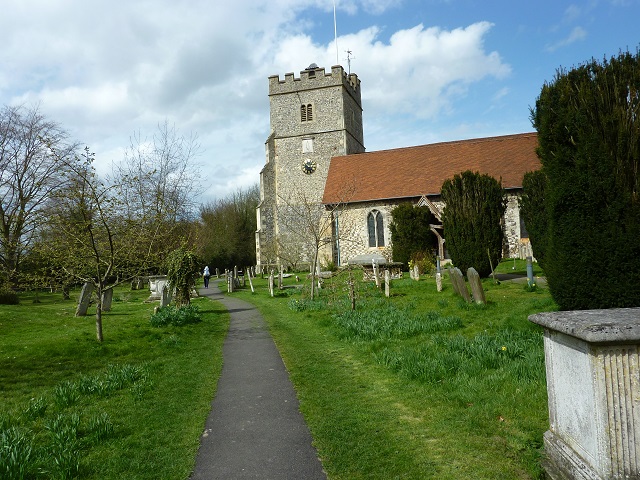
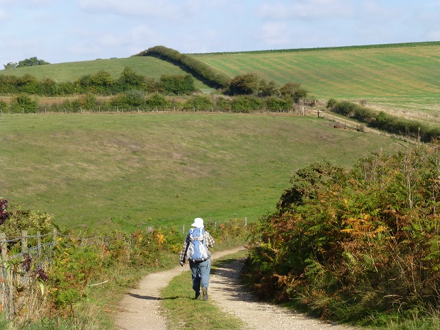
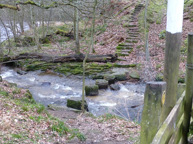
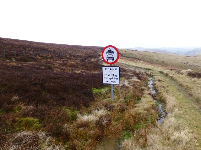
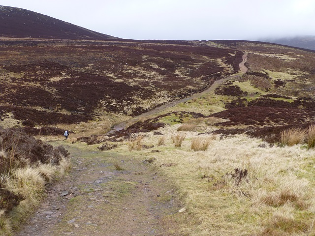
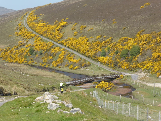
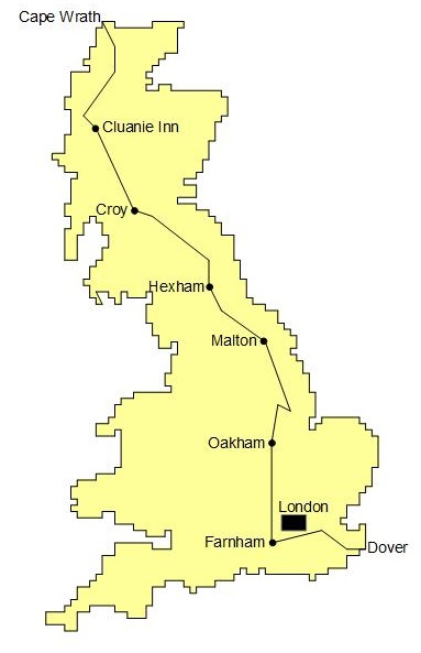
As a successor to the Land's End to John O'Groats walk, Linda and Gwen set off in 2013 to walk from the most south-easterly tip of England (South Foreland, on the coast, about 3 miles north of Dover) to the most north-westerly point of Scotland at Cape Wrath. This time the aim was to do the walk in sections of roughly two weeks duration as and when time allowed. The route evolved into seven sections with the start and end points of each section accessible by public transport. Overall, the route was partitioned into 88 stages.totalling 1150 miles with stage lengths normally averaging 13.5 miles. As always, comfortable accommodation at the end of the day with somewhere to eat in the evenings was a major factor in the route planning!
The walk is as off-road as possible linking path and tracks shown on OS maps, and where appropriate, use is made of recreational paths and national trails displayed on the maps; these are normally designed to exhibit an area's finest features. In order to avoid London, the route takes to the North Downs Way from Dover. Thereafter the route turns northwards across the less hilly and rural terrain of Berkshire, Buckinghamshire, Northamptonshire, Leicestershire and Rutland as it heads for Oakham. The Viking Way across Lincolnshire starts at Oakham and takes in Lincoln and the Wolds on its way to the Humber Bridge. Having kept to the east side of England, the route now starts moving north-westwards crossing the Yorkshire Wolds and the North York Moors into Teesdale and on through rural Northumberland to the Cheviot Hills. The route enters Scotland on the ridge top of the Cheviots and then proceeds through the lush Scottish Borders and over the Pentland Hills to arrive in Scotland's Central Belt a few miles west of Edinburgh. Canals then take walkers westwards to the Belt's western side. Thereafter the route progresses generally northwards keeping to the west side of mainland Scotland. After passing through the Trossachs, the route makes for Spean Bridge. Further northwards, the route has parts in common with the usual routes to Cape Wrath although generally keeping just east of these on easier terrain.
Pdf files of a route overview and the route directions for each section are available: