
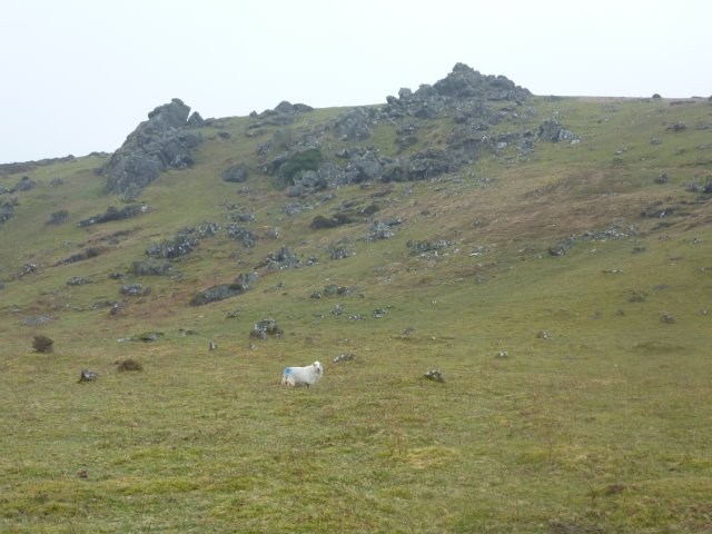
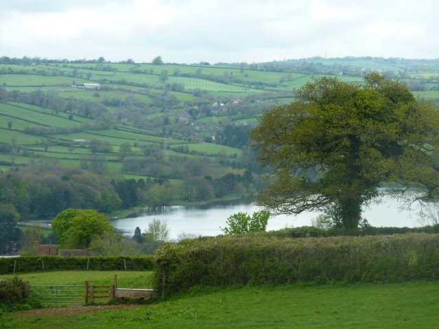
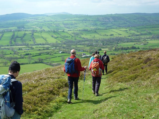
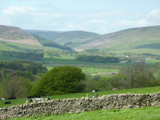
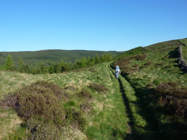
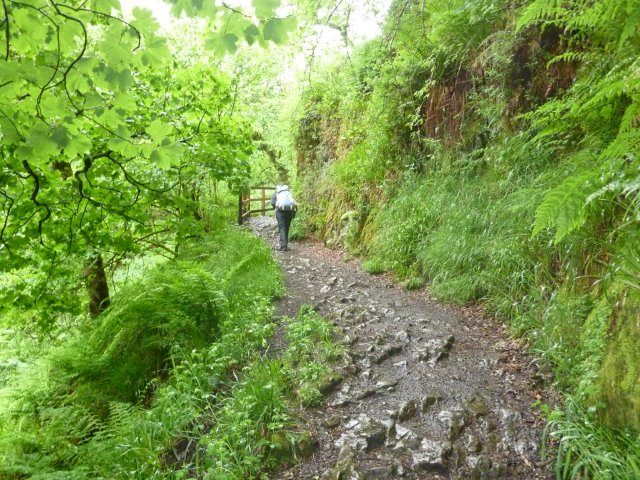
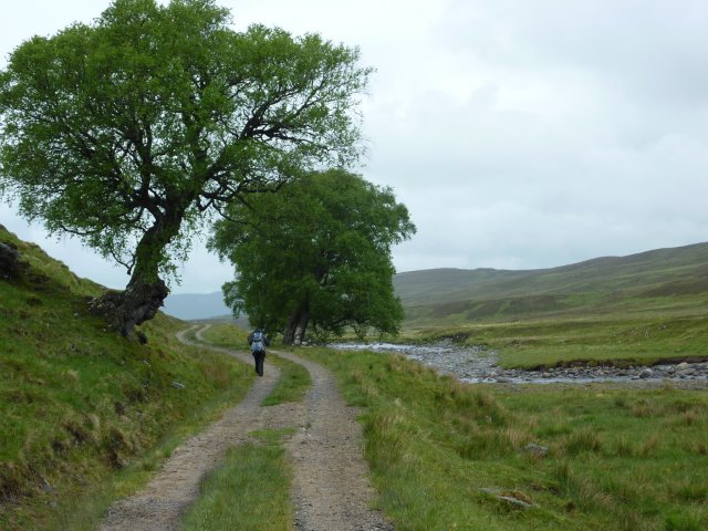
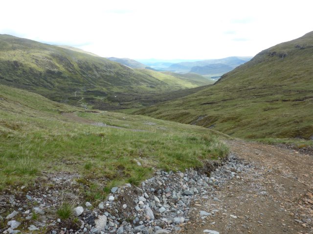
Husband Allan didn't want to undertake the whole of a Land's End to John O'Groats route leaving Linda to find another idiot to do it with. Gwen "volunteered" and the two grans set off in April 2012 on a continuous journey of 71 stages covering 1035 miles with three rest days and two travelling days built into the schedule. In a great leap of faith, all the accommodation was booked in advance. This was mainly B&B accommodation but occasionally in a hostel. We were not sponsored on the walk but Linda thought that if she was lucky enough to complete the walk then she would write it up and any profit from book sales would be donated to local charities. Meanwhile, Gwen recorded a wonderful photographic record of our particular adventure and we have given a number of talks where any donations have benefited our local charities.
The 371 page book of the journey Walking e2e can be ordered via our order page and contains
In planning a stimulating and varied route the following guidelines were adopted:
Linda drew up a list of places where she wished the route to pass through. The rest of the route then more or less slotted into place by drawing straight lines between these points and then sitting down with the 1:25000 Explorer and Outdoor Leisure maps. The strategic points, which mostly turned out to be where water is crossed, are
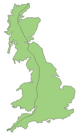
The fairly direct route stays inland through south-west England then moves northwards following the Welsh border but staying on the English side, so keeping east of the Offa's Dyke Path. Further north, the route crosses the Bowland and Howgill Fells to stay west of the Pennine Way. In Scotland, hill tracks, old drove and military routes have been linked to continue progress northwards by moving up through the centre of Scotland. So the resulting route sits between the A9 and the West Highland Way. Oykel Bridge in Sutherland marks the point at which the e2e finally turns and starts to move towards John O'Groats.